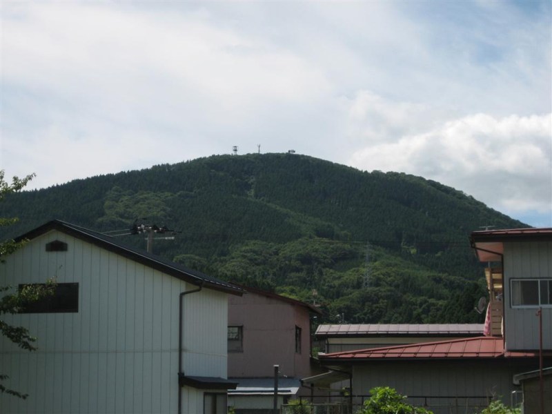
Like Jen said in our previous post, this past Monday was Health-Sports Day (a national holiday in Japan), so both of us had off of work. With a whole free day at our disposal, and perfectly gorgeous cool fall weather to boot, we took it as the prime opportunity to climb Funehiki’s local “mountain,” Mount Katazoune (below). It’s not much of a mountain, really–more like a REALLY big hill. But it’s big enough that you can see the whole town from it, and that’s big enough for us. So off we went!
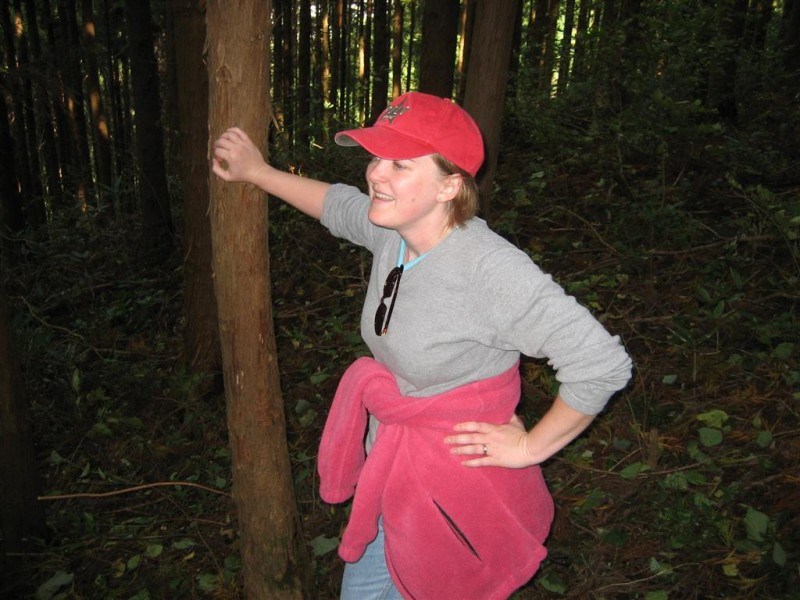
That’s Mt. Katazoune, as seen from near our house. Imagine for a second that you’re here in Japan, looking at this mountain. (WELCOME TO JAPAN!!! He he he…) Now imagine that you’re going to walk from here all the way to the top in about an hour and a half. Yup, that’s all it takes–that and a LOT of heavy breathing! It was definitely a workout–a long, windy road, followed by a surprisingly intense hike through some really steep woods. We were taking breaks every two minutes! Here’s a picture of Jen that captures both the beauty and the exhaustion of that hike:
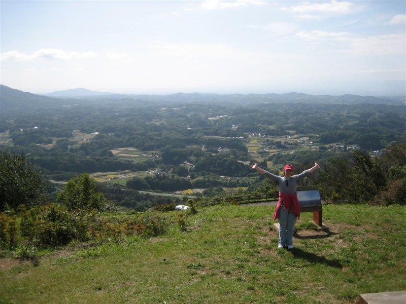
But finally, at long last, we reached the top . The view was absolutely gorgeous There were some random Japanese old people having lunch at the summit, and they seemed very surprised at the way we emerged from the woods without warning. They were very nice, though, and showed us which way was which. The view was so clear that you could see actually Koriyama, the nearest big city, with your own eyes. It takes about 35 minutes by train to get there; it’s probably at least 20km away (as the crow flies), so we’re talkin’ some great visibility here. Lots of yellow-green rice fields, deep green forests, brown patches where rice had been harvested, and pale blue hills receding into the distance. It was so beautiful that Jen couldn’t resist making the international sign for “I’m happy and I know it”:
See, what did I tell you? Beautiful. Check out that view –you’d never be able to see this kind of thing in Tokyo! This is actually the south side of the mountain. Funehiki is to the north. So let’s cross over to the other side of the summit and see what we can see, shall we?
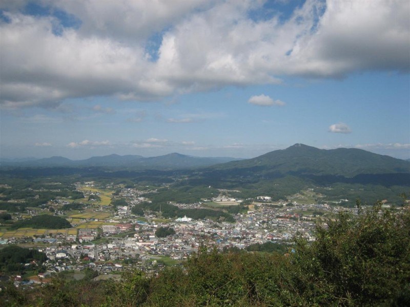
There it is: the town of Funehiki . Or most of it anyway–a fair chunk of it of it is obscured by those annoying green trees in the foreground. You can actually see the Wakakusa English School, as well as our house, in this picture. We’ll give 50 yen to the first person that can spot both, so get lookin! ![]()
[NOTE: Subscribers to our Yahoo! email list will receive, as an exclusive added bonus, an Adobe .pdf file that shows an illustrated, zoomed-in photograph of our house, Wakakusa English School, the local grocery store, the mall, and the station, etc. that we took from the mountain.]
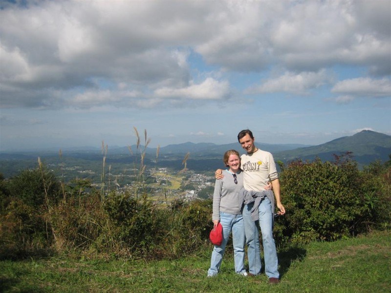
Here’s a picture of us in front of the town of Funehiki:
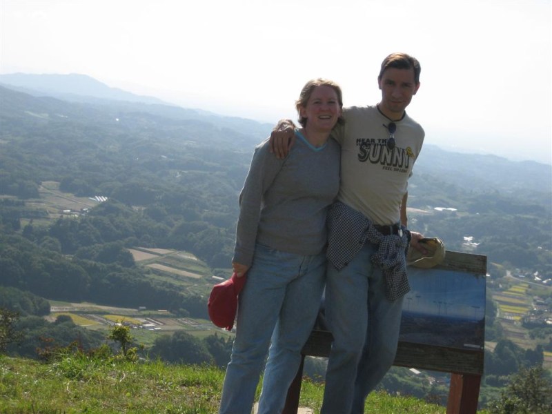
And here’s us again on the sunny south side (TM):
Whew, what a day. It was great to be able to finally climb this thing–ever since we first got here two months ago we’d been looking at it and wondering when we could finally get to the top. Now, whenever we leave our house and look up and see Mt. Katazoune in the distance, we can say to ourselves, “Heh, heh, heh–I was up there!!!” ![]()
“Climb every mountain, ford every stream…”

Agh! It’s happening! Mike is turning to the dark side: he’s using metric!!! “it’s probably at least 20km away” OH NO!!!
;o>
Good job on the adventure! Now you have a mountain on which to smite your foe’s ruin. (inside joke)
Glad you guys got to experience that. I love the view up there.